Cadastral surveying: a practical guide

What is cadastral surveying?
Cadastral surveying is the process of identifying, measuring and documenting the exact boundaries of land parcels. It provides the definitive legal description of a property, which is essential for owners, developers and councils.
Why cadastral surveying matters in Parramatta
Parramatta’s rapid development means property boundaries can change quickly. A precise cadastral survey helps avoid disputes, supports smooth land transactions and ensures compliance with local planning regulations.
The cadastral survey process explained
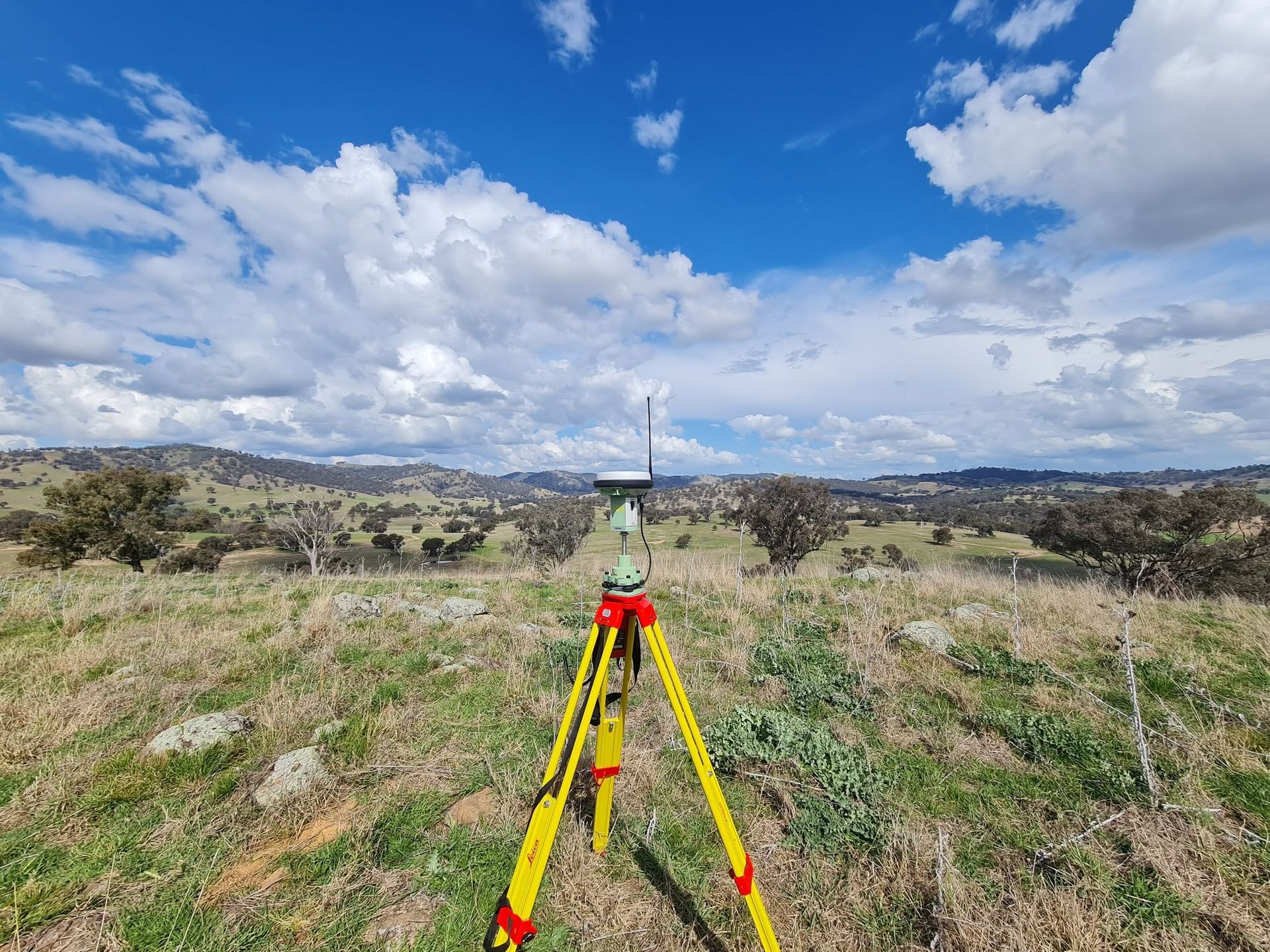
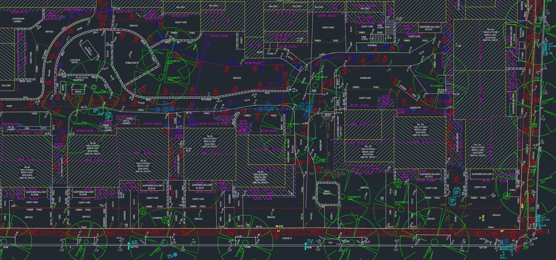
1. Initial consultation – We discuss your requirements, site location and any known issues. 2. Field investigation – Using modern GPS, total stations and drones, we capture accurate measurements of the site. 3. Data processing – Survey data is converted into detailed plans that show boundaries, easements and any encroachments. 4. Report delivery – You receive a professional report and digital files ready for council submission or legal use.
Common challenges and how to avoid them
In busy urban areas like Parramatta, existing infrastructure, underground services and heritage buildings can complicate surveys. Our team conducts thorough site checks and works closely with local authorities to mitigate these issues.
Choosing a local surveying partner
Working with a surveying firm based in Parramatta assures familiarity with council processes, local terrain and community expectations. It also means quicker response times and personalised service.
Get started with Survtech
Ready to protect your property with a reliable cadastral survey? Get in touch with our team to discuss your project and ensure your boundaries are accurately recorded.
Looking for more information about our surveying solutions? Explore our cadastral surveying services and discover how we can support your next development.