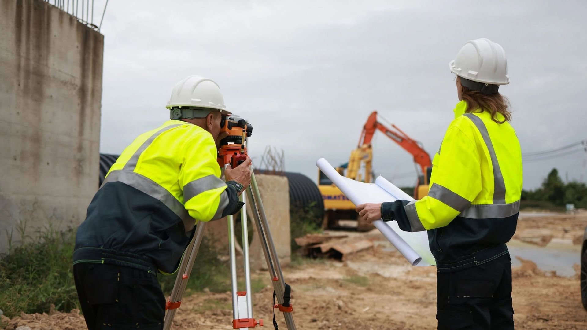
Accurately locate and map underground services using advanced GPR scanning combined with professional land surveying. SURVTECH provides integrated field-to-plan solutions that identify underground utilities
and incorporate them into detailed survey plans for safer, more efficient projects.
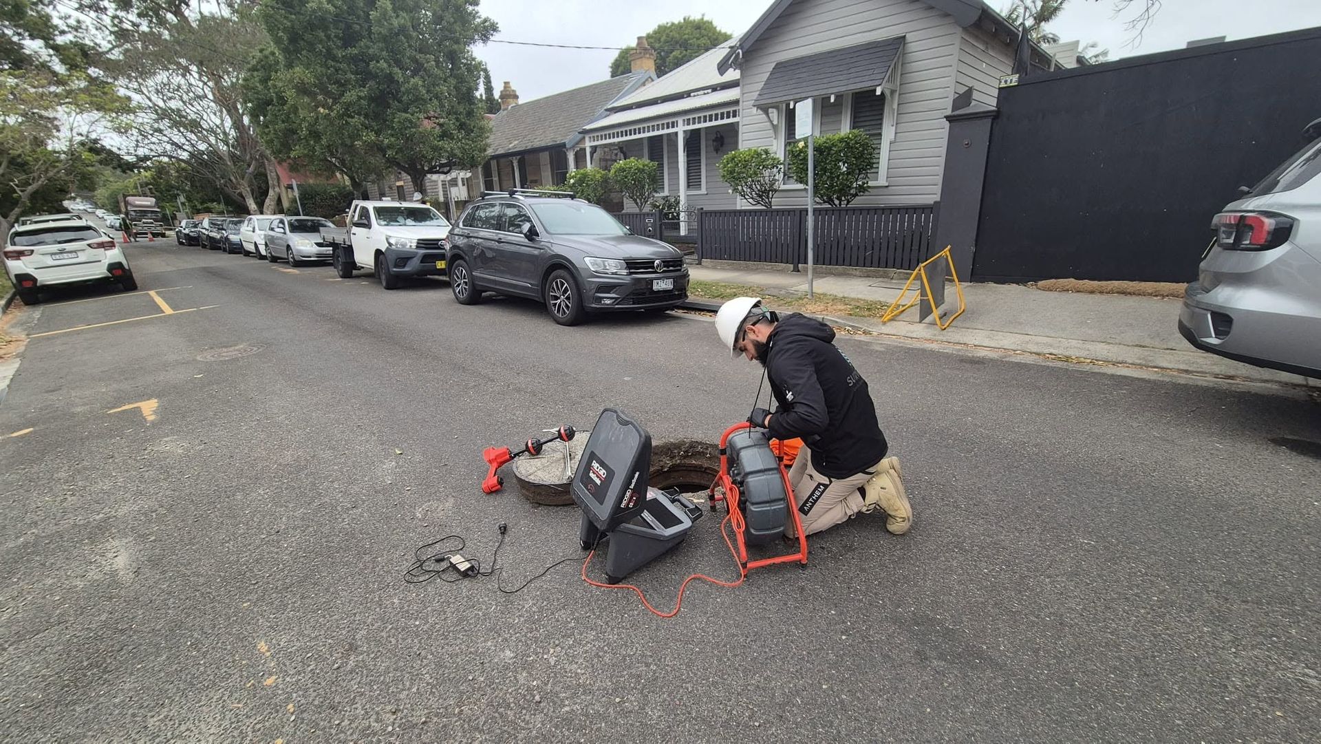
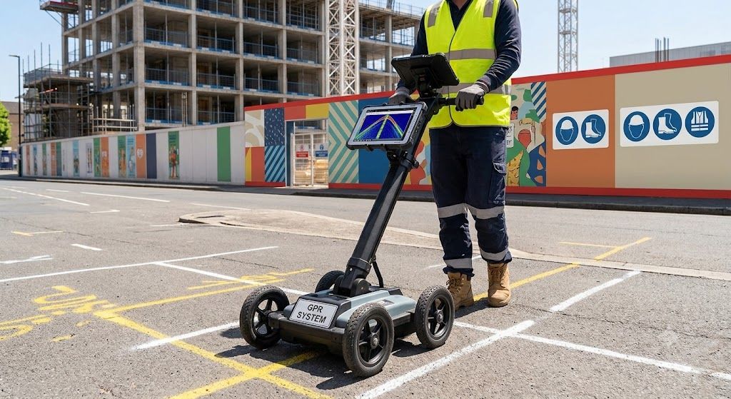
Survtech combines advanced land surveying with underground utility locating to provide complete project visibility. Our GPR scanning technology accurately identifies underground services, reducing excavation risks and project delays.
Our underground utility mapping services
Ground penetrating radar (GPR) scanning
Underground service locating and identification
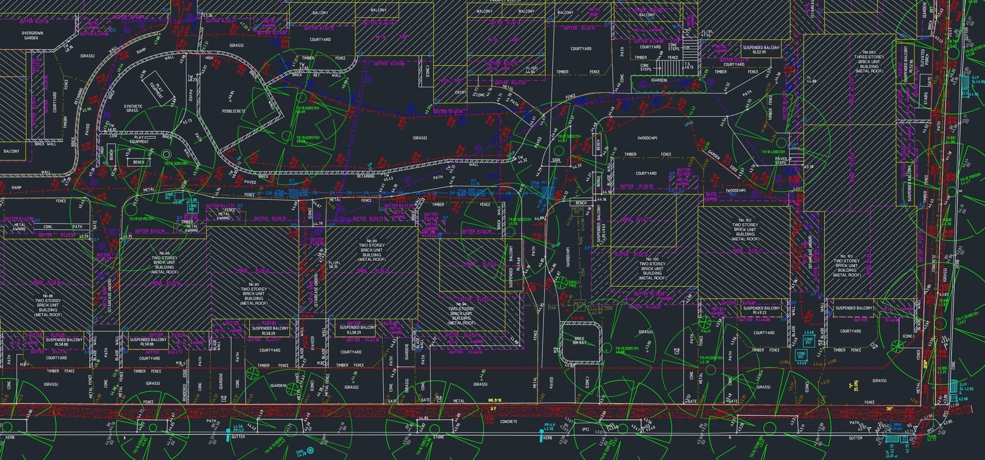
Utility mapping and documentation
Integration into detailed survey plans
Utility reporting and planning
Risk assessment before excavation
Get accurate underground utility mapping today
Contact Survtech for professional underground utility locating and mapping services. Protect your project with accurate land surveying and utility identification.
Reach out to discuss your underground utility mapping and land surveying requirements. Survtech serves Parramatta, Western Sydney, South West Sydney and surrounding regions.
Contact us
Thank you for contacting us. We will get back to you as soon as possible.
Oops, there was an error sending your message. Please try again later.